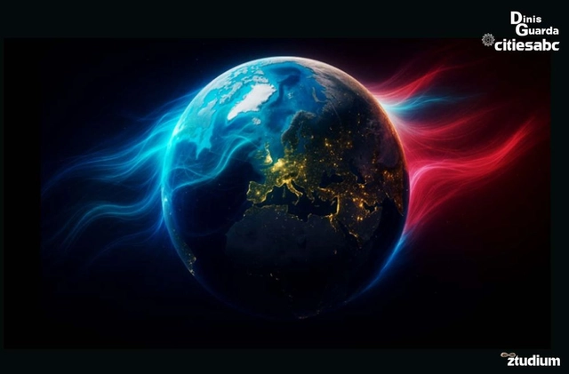
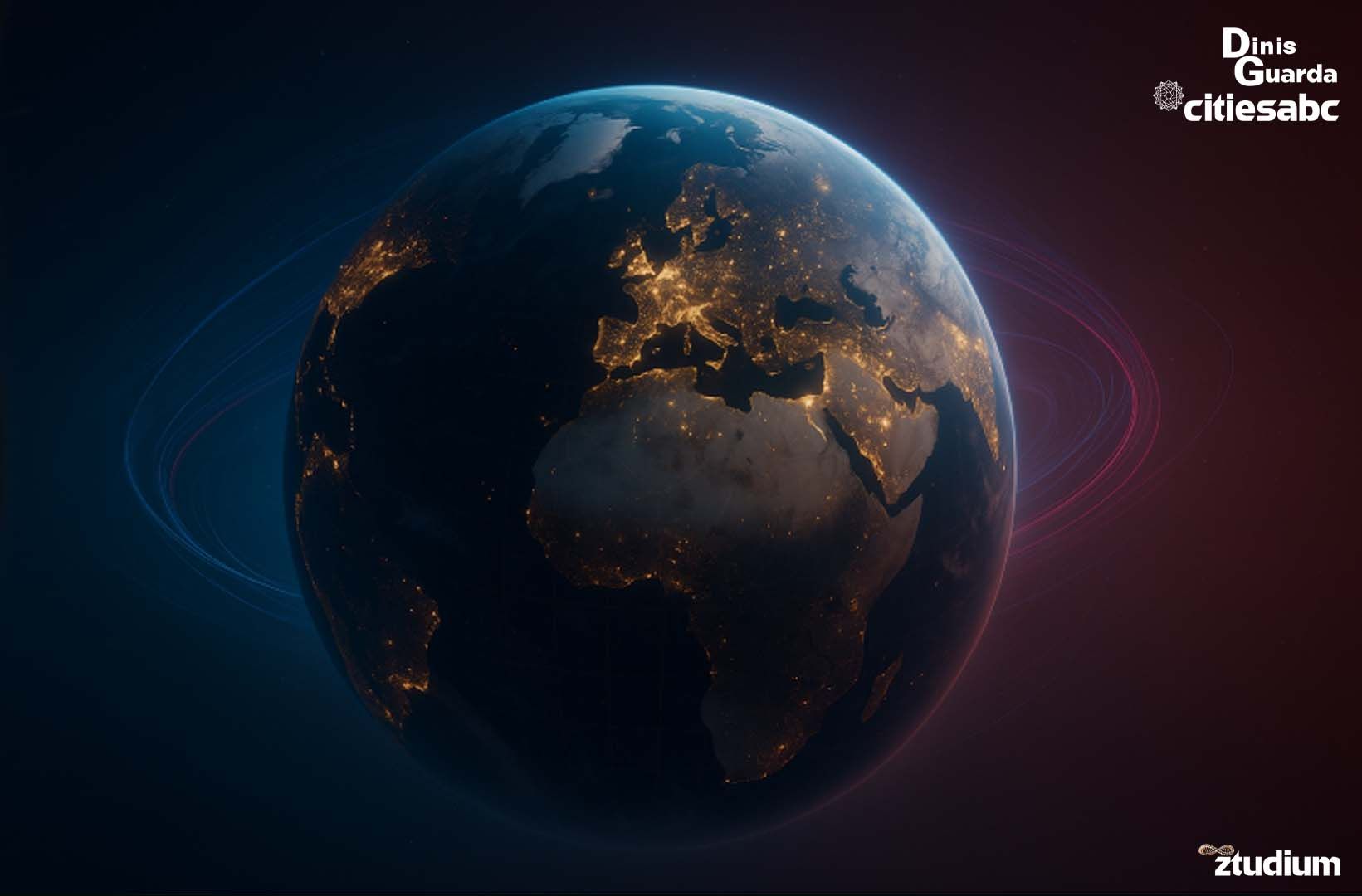
How Many Cities Are There In The World?
A Comprehensive Analysis of Cities, Urban Definition, Enumeration, and Global Distribution.
“The city is not a concrete jungle, it is a human zoo.” – Desmond Morris
The question “How many cities are there in the world?” appears deceptively simple, yet reveals itself as one of the most complex cartographic challenges of our time.
Like attempting to count the stars in an ever-expanding universe, enumerating the world’s cities requires us to first define what constitutes a city—a task that has confounded geographers, demographers, and urban planners for centuries.
Here we will collectively examine the multifaceted nature of urban classification, drawing upon data from the United Nations, UNESCO, World Bank, and other authoritative sources to illuminate why no single answer exists to this fundamental question about human settlement patterns.
Evidence suggests that between 48,000 prominent cities and over 4.3 million comprehensive populated places exist globally, depending upon definitional parameters.
What emerges is not merely a statistical exercise, but a profound reflection on how humanity has chosen to organise itself across the terrestrial sphere — an existential proof of how our species is inexorably driven towards a collective existence.
The Elusive Urban Count
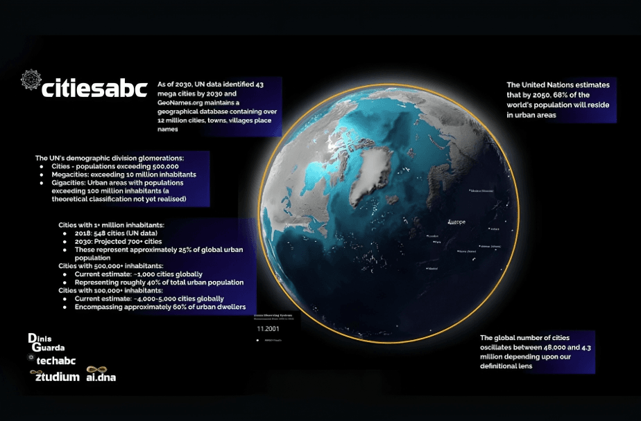
The United Nations estimates that by 2050, 68% of the world’s population will reside in urban areas, yet the organisation acknowledges that defining what constitutes a “city” remains one of the most contentious issues in demographic science.
This fundamental uncertainty transforms our inquiry from a simple enumeration into an exploration of how different cultures, governments, and institutions conceptualise human settlement.
The stakes of this definitional challenge extend far beyond academic curiosity. Urban classification influences resource allocation, political representation, infrastructure development, and our understanding of global migration patterns. When the World Bank estimates economic output or the International Monetary Fund calculates urban productivity metrics, the underlying question of what constitutes a city shapes these fundamental assessments of human progress.
Definitional Frameworks: The Many Faces of Urban ClassificationThe United Nations Approach
The UN-Habitat programme, in its World Cities Report series, acknowledges that “there is no standard definition of what constitutes a city.” Each of the 193 UN member states employs its own criteria, creating a kaleidoscope of definitional approaches. Thus, there exists a diversity of human settlement patterns across cultures and geographies.
The UN’s demographic division typically employs population thresholds as primary indicators:
- Urban agglomerations: Continuously built-up areas with populations exceeding 500,000
- Megacities: Urban areas with populations exceeding 10 million inhabitants
- Gigacities: Urban areas with populations exceeding 100 million inhabitants (a theoretical classification not yet realised)
As of 2018, UN data identified 33 megacities globally, with projections suggesting this number will reach 43 by 2030. However, this classification system reveals its limitations when applied across diverse geographical and cultural contexts.
National Definitional Variations
The complexity deepens when examining how individual nations define urban areas:
United States: The Census Bureau defines “urban areas” as densely settled territories containing 2,500 or more people, whilst “urbanised areas” must contain 50,000 or more inhabitants.
India: Cities are defined as settlements with a minimum population of 5,000, population density of at least 400 persons per square kilometre, and 75% of the male working population engaged in non-agricultural activities.
France: Urban areas (“unités urbaines”) are defined as continuously built-up areas with at least 2,000 inhabitants, where buildings are separated by no more than 200 metres.
China: Cities are classified through a hierarchical system ranging from “small cities” (populations under 500,000) to “super cities” (populations exceeding 10 million).
These definitional variations create what urban theorist Henri Lefebvre might term “differential space”—each classification system produces its own urban reality, making global comparison extraordinarily challenging.
Functional vs. Administrative Definitions
The tension between functional and administrative definitions of cities adds another layer of complexity. Functional definitions focus on economic integration and commuting patterns, whilst administrative definitions rely on political boundaries. The Organisation for Economic Co-operation and Development (OECD) attempts to reconcile this through its functional urban area (FUA) methodology, which defines cities based on:
- Urban centres: Densely populated areas (at least 1,500 inhabitants per km²) with populations exceeding 50,000
- Commuting zones: Surrounding areas from which at least 15% of employed residents commute to the urban centre
This approach recognises cities as living systems rather than static administrative units. More importantly, it acknowledges the reality that urban influence extends far beyond municipal boundaries.
Global Urban Inventory: Quantifying the Unquantifiable
Comprehensive Database Analysis
Several organisations have attempted to create comprehensive urban databases, each revealing different facets of global settlement patterns:
SimpleMaps.com provides perhaps the most extensive publicly available database, listing:
- Approximately 48,000 prominent cities
- Over 4.3 million comprehensive populated places
- Data categorised by population thresholds, administrative levels, and geographical coordinates
GeoNames.org maintains a geographical database containing over 12 million place names, including detailed hierarchical information about urban settlements worldwide.
Natural Earth Data offers cartographic datasets distinguishing between populated places by population categories, providing crucial spatial context for urban analysis.
Population-Based Classifications
When examining cities through population lenses, clearer patterns emerge:
Cities with 1+ million inhabitants:
- 2018: 548 cities (UN data)
- 2030: Projected 700+ cities
- These represent approximately 25% of global urban population
Cities with 500,000+ inhabitants:
- Current estimate: ~1,000 cities globally
- Representing roughly 40% of total urban population
Cities with 100,000+ inhabitants:
- Current estimate: ~4,000-5,000 cities globally
- Encompassing approximately 60% of urban dwellers
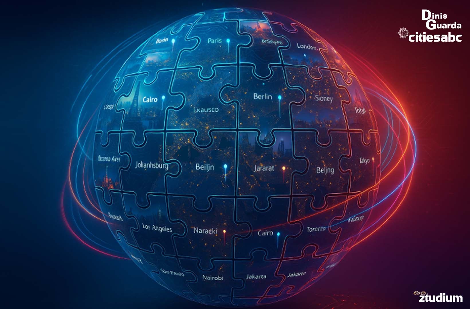
Regional Distribution Analysis
Urban distribution across continents reveals profound inequalities and development patterns:
Asia: Home to approximately 60% of the world’s urban population, with China alone containing over 600 cities with populations exceeding 100,000. India follows with approximately 400 such cities.
Europe: Contains roughly 1,500 cities with populations over 10,000. These cities in the continent of Europe are patterned with dense historical settlement and relatively uniform development.
North America: Despite lower population density, contains approximately 400 cities with populations exceeding 50,000, characterised by extensive suburban sprawl.
Africa: Represents the fastest-growing urban continent, with urban populations projected to triple by 2050. Current estimates suggest over 3,000 settlements meeting minimum urban criteria.
South America: Characterised by high urbanisation rates (over 80%), with approximately 2,000 identifiable urban settlements.
Oceania: Despite vast geographical areas, contains relatively few urban centres, with Australia and New Zealand accounting for the majority of the region’s ~200 cities.
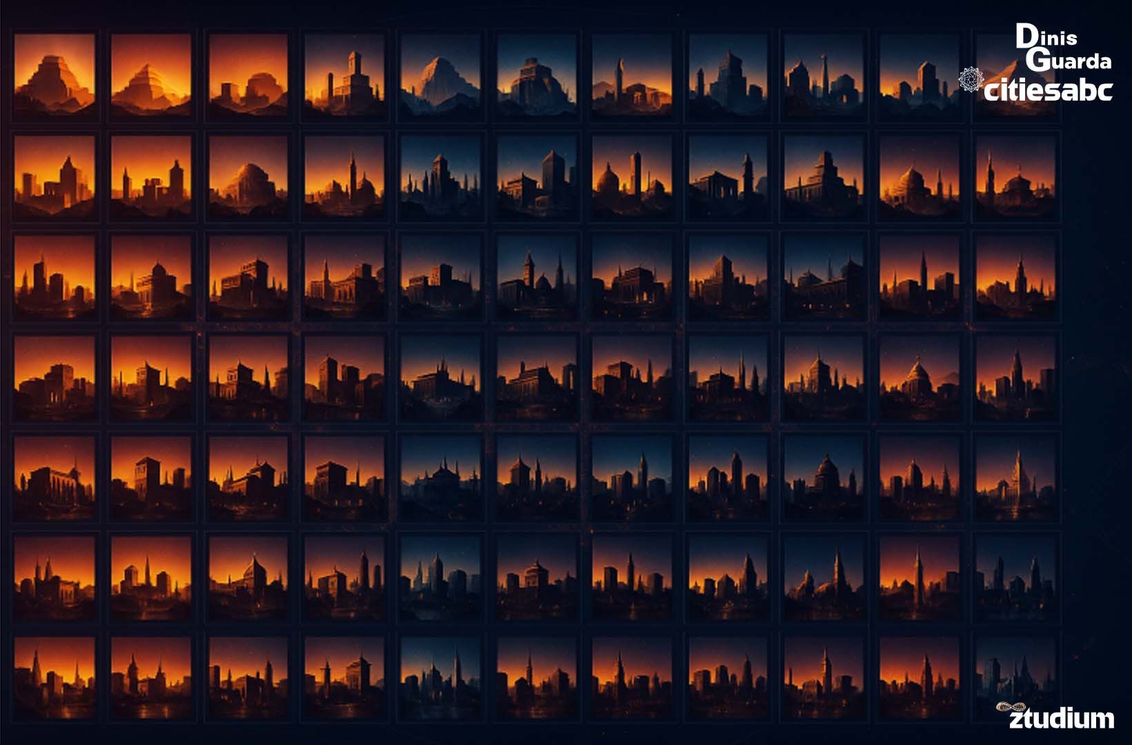
Historical Evolution: The Urban Trajectory of Humanity
The Urban Revolution
Lewis Mumford, in “The City in History,” described urbanisation as humanity’s greatest collective achievement—a perspective that finds statistical support in demographic trends. The proportion of humanity living in urban areas has increased from:
- 1800: ~3% (approximately 25 million urban dwellers)
- 1900: ~14% (approximately 220 million urban dwellers)
- 1950: ~30% (approximately 750 million urban dwellers)
- 2018: ~55% (approximately 4.2 billion urban dwellers)
- 2050: Projected ~68% (approximately 6.7 billion urban dwellers)
This urban transition represents what demographers term the “Great Acceleration”—the period since 1950 during which human impact on Earth systems has intensified dramatically.
Waves of Urbanisation
Historical analysis reveals distinct waves of urbanisation:
First Wave (1750-1950): Concentrated in Europe and North America, driven by industrial revolution. Created the first modern megacities: London, New York, Paris.
Second Wave (1950-2000): Expanded to include developing nations, particularly in Asia and Latin America. Saw the emergence of cities like Tokyo, São Paulo, and Mumbai as global megacities.
Third Wave (2000-present): Characterised by rapid urbanisation in Africa and continued growth in Asia. Notable for the emergence of “instant cities”—settlements that grow from small towns to major urban centres within decades.
The Morphology of Urban Growth
Urban morphologist Christopher Alexander’s “Pattern Language” provides insight into how cities develop organically. Modern data mining techniques applied to satellite imagery reveal that cities grow through:
- Densification: Increasing population within existing boundaries
- Expansion: Outward growth into surrounding areas
- Coalescence: Merger of previously separate settlements
- Leap-frogging: Development in disconnected areas later filled in
These growth patterns complicate enumeration efforts, as settlements continuously transform from rural to urban classifications.
Methodological Challenges: The Science of Urban Cartography
Remote Sensing and Satellite Analysis
Contemporary urban mapping increasingly relies on satellite imagery and remote sensing technology. The European Space Agency’s Urban Atlas project and NASA’s Global Urban Footprint initiative employ:
- Synthetic Aperture Radar (SAR): Penetrates cloud cover to identify built-up areas
- Optical imagery analysis: Identifies urban land use patterns
- Night-time lights data: Correlates artificial illumination with urban activity
- Digital elevation models: Distinguish urban areas from natural features
These technologies enable identification of urban settlements previously unknown to official databases, particularly in remote regions of developing nations.
Big Data Approaches
The emergence of big data analytics offers new possibilities for urban enumeration:
Mobile phone data: Call detail records reveal population density and mobility patterns, enabling identification of functionally integrated urban areas.
Social media geolocation: Platforms like Twitter and Instagram provide real-time indicators of urban activity and settlement boundaries.
Commercial satellite imagery: Companies like Planet Labs provide daily global imagery, enabling near real-time monitoring of urban growth.
OpenStreetMap data: Crowdsourced mapping provides detailed information about urban infrastructure and boundaries.
Machine Learning Applications
Artificial intelligence and machine learning algorithms increasingly support urban classification:
- Convolutional Neural Networks (CNNs): Automatically identify urban areas in satellite imagery
- Natural Language Processing (NLP): Analyse textual descriptions of places to determine urban characteristics
- Clustering algorithms: Identify functional urban areas based on multiple variables
- Time series analysis: Track urban growth patterns over time
Data Mining the Urban Landscape: Analytics and Metrics
Multi-Dimensional Urban Indicators
Moving beyond simple population counts, contemporary urban analysis employs multidimensional approaches:
Demographic Indicators:
- Population size and density
- Age structure and demographic transition
- Migration patterns and population growth rates
Economic Indicators:
- GDP per capita and economic output
- Employment structure and industry composition
- Innovation indices and patent production
Infrastructure Indicators:
- Transportation connectivity
- Digital infrastructure and internet penetration
- Utilities coverage and service quality
Environmental Indicators:
- Air quality and pollution levels
- Green space availability
- Energy consumption and carbon emissions
Social Indicators:
- Education levels and literacy rates
- Healthcare access and quality
- Cultural institutions and amenities
Composite Urban Indices
Several organisations have developed composite indices to rank and compare cities:
UN-Habitat City Prosperity Index: Combines productivity, infrastructure, quality of life, equity, and environmental sustainability metrics.
Economist Intelligence Unit Global Liveability Ranking: Assesses cities based on stability, healthcare, culture, environment, and education.
Mercer Quality of Living Survey: Evaluates cities on political, economic, socio-cultural, and environmental factors.
These indices reveal that urban quality often correlates inversely with urban size, challenging assumptions about megacity superiority.
The Future Urban Landscape: Projections and Possibilities
Demographic Projections
United Nations projections suggest dramatic urban transformation by 2050:
- Africa: Urban population projected to triple, from 472 million (2018) to 1.49 billion (2050)
- Asia: Expected to add 1.8 billion urban residents, reaching 3.49 billion total urban population
- Global total: Urban population projected to increase from 4.2 billion to 6.7 billion
These projections suggest that by 2050, approximately 2,000 additional cities may cross the 100,000-inhabitant threshold.
Emerging Urban Forms
Traditional city definitions may become obsolete as new urban forms emerge:
Mega-regions: Interconnected networks of cities spanning hundreds of kilometres (e.g., BosWash corridor, Pearl River Delta)
Edge cities: Suburban centres with urban characteristics but lacking traditional city cores
Smart cities: Technology-integrated urban systems that blur physical and digital boundaries
Climate cities: Settlements specifically designed for climate adaptation and resilience
Space cities: Theoretical extraterrestrial settlements that challenge terrestrial urban definitions
Technological Integration
The Internet of Things (IoT) and ubiquitous computing are creating “smart city” ecosystems that generate unprecedented data about urban systems. Real-time monitoring of:
- Traffic flows and transportation patterns
- Energy consumption and distribution
- Waste generation and recycling
- Air quality and environmental conditions
- Economic transactions and commercial activity
This data abundance may enable dynamic, real-time urban classification systems that adapt to changing conditions.
Towards Cities and Urban Understanding
Policy Implications
The absence of universal urban definitions creates significant policy challenges:
Resource Allocation: International development funding often relies on urban classification, yet definitional inconsistencies may misdirect resources.
Climate Action: Urban areas generate 70% of global carbon emissions, but emission reduction strategies require accurate urban boundaries and population data.
Sustainable Development Goals: SDG 11 (Sustainable Cities and Communities) depends on urban indicators that vary dramatically between nations.
Migration Policy: Understanding urban migration patterns requires consistent urban definitions across origin and destination countries.
Scientific Implications
Urban enumeration challenges reflect deeper epistemological questions about how we understand human settlement:
Scale Sensitivity: Urban characteristics emerge differently at various spatial and temporal scales, challenging reductionist approaches.
Emergence and Complexity: Cities exhibit emergent properties that resist simple classification, requiring complex systems approaches.
Cultural Relativism: Urban definitions reflect cultural values and priorities, suggesting that universal definitions may be inappropriate.
Dynamic Systems: Cities continuously evolve, requiring temporal approaches that transcend static enumeration.
Philosophical Reflections
The question “How many cities are there in the world?” ultimately reflects humanity’s relationship with place and space. Jorge Luis Borges, in his short story “The Aleph,” described a point containing all other points in the universe—perhaps cities serve as similar concentrators of human experience and possibility.
Cities represent humanity’s attempt to create artificial environments suited to our social nature. They are simultaneously:
- Demographic concentrations: Aggregations of human population
- Economic engines: Centres of production and innovation
- Cultural crucibles: Sites of artistic and intellectual creativity
- Social laboratories: Spaces for experimenting with human organisation
- Environmental challenges: Sources of pollution and resource consumption
- Evolutionary adaptations: Responses to environmental and social pressures
Each city embodies the full spectrum of human potential—from sublime achievement to tragic failure. To count them is to attempt an inventory of human ambition itself.
Recommendations: Towards Improved Urban Understanding
Methodological Recommendations
Develop Multi-Scalar Approaches: Urban analysis should incorporate multiple spatial scales, from neighbourhood to global levels, recognising that urban characteristics emerge differently at various scales.
Embrace Temporal Dynamics: Static enumeration should be supplemented with longitudinal analysis that captures urban evolution and transformation.
Integrate Quantitative and Qualitative Methods: Population metrics should be combined with qualitative assessments of urban function, culture, and identity.
Standardise Data Collection: International organisations should develop common protocols for urban data collection whilst respecting national definitional sovereignty.
Technological Recommendations
Invest in Remote Sensing Capabilities: Satellite-based urban monitoring should be expanded to provide regular, comprehensive coverage of global settlement patterns.
Develop AI-Powered Classification Systems: Machine learning algorithms should be trained to identify urban characteristics across diverse geographical and cultural contexts.
Create Open Data Platforms: Urban data should be made freely available to researchers, policymakers, and citizens to enable collaborative urban understanding.
Build Real-Time Monitoring Systems: IoT networks should be deployed to provide dynamic information about urban systems and boundaries.
Policy Recommendations
Establish International Urban Observatory: A global institution should coordinate urban research, data collection, and analysis across national boundaries.
Develop Flexible Urban Frameworks: Policy frameworks should accommodate diverse urban forms and definitions whilst maintaining analytical coherence.
Promote Urban Literacy: Educational programmes should enhance public understanding of urban systems and challenges.
Support Urban Innovation: Research funding should prioritise interdisciplinary approaches to urban understanding and development.
The Human Infinite City
In attempting to answer the question “How many cities are there in the world?”, we discover that the question itself reveals more than any answer possibly could. The number oscillates between 48,000 and 4.3 million depending upon our definitional lens—a range that speaks not to inadequate methodology but to the profound complexity of human settlement patterns.
Like Italo Calvino’s “Invisible Cities,” each approach to urban enumeration reveals different aspects of urban reality whilst concealing others. The administrative city differs from the economic city, which differs from the cultural city, which differs from the ecological city. Each perspective contains truth, yet none contains the whole truth.
Perhaps the most profound insight emerges not from any specific count but from the recognition that cities represent humanity’s greatest collective experiment in social organisation. They are the spaces where we have chosen to concentrate our species’ talents, energies, and aspirations. Whether we count 48,000 or 4.3 million such places, each represents a unique attempt to create human environments suited to our social nature.
The urbanisation of humanity represents one of the most significant transformations in our species’ history—a transformation that continues to accelerate and intensify. By 2050, when nearly 70% of humanity will call cities home, understanding urban systems becomes not merely an academic exercise but an existential necessity.
As we stand at the threshold of what some term the “Urban Century,” the question of how many cities exist in the world becomes secondary to the question of how well we understand the cities we inhabit. For in the end, each city is not merely a settlement but a reflection of human possibility—a testament to our species’ capacity for both creation and destruction, cooperation and conflict, innovation and stagnation.
The true measure of our cities lies not in their number but in their ability to enhance human flourishing whilst maintaining ecological balance. Whether there are 48,000 or 4.3 million cities in the world, each one represents both a challenge and an opportunity to create more just, sustainable, and beautiful human environments.
In this light, the question “How many cities are there in the world?” transforms into a more fundamental inquiry: “What kind of urban future do we wish to create?” The answer to this question will determine not merely how many cities exist tomorrow, but what kind of cities they will be—and what kind of species we will become through inhabiting them.